Loading
Please wait while we load the content for you.
Thank you for your patience!
BETA - We are testing this new service – your feedback will help us to improve it.
Please wait while we load the content for you.
Thank you for your patience!
A live network of sensors watches our rivers, rainfall and groundwater — so communities can understand flood risk before it becomes a crisis.
How it works
Every time it rains heavily, a chain of sensors, systems and decisions activates. Here’s how it works — from the first drop to your front door.
STEP 1
Data Collected
Rain gauges and radar capture rainfall and water levels
STEP 2
Data Analysed
Alerts are generated based on radar data and when rainfall thresholds are triggered
STEP 3
Flood Warnings
Flood warnings are sent out to flood risk managers
STEP 4
Taking Action
Communities and Flood Risk Management Teams prepare and respond to protect lives and property
What we measure
Rainfall, water levels and groundwater work together to show how water moves through the landscape.
Rain Gauges
Rain gauges & radar capture rainfall across the county
Surface Water Level Sensors
Track rivers, channels and sewer networks with vented pressure sensors. Show how quickly rainfall reaches local watercourses.
Boreholes
Monitor groundwater depth below the surface. High groundwater means reduced capacity to absorb more rain.
Real data, real events
Here’s what our sensor network has captured during real weather events - compared to what people have experienced on the ground.
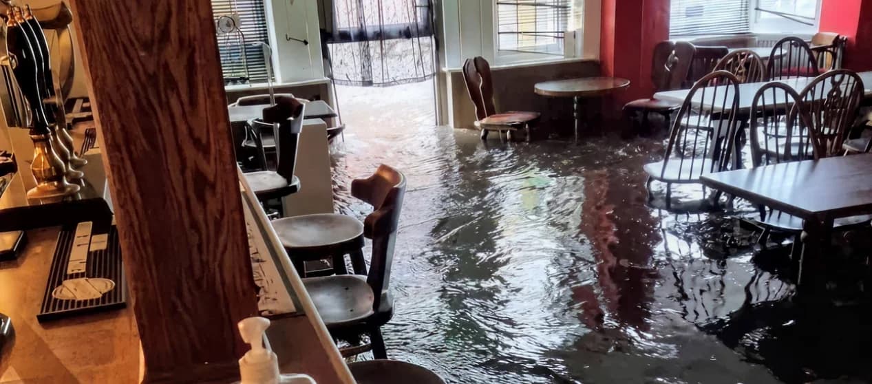
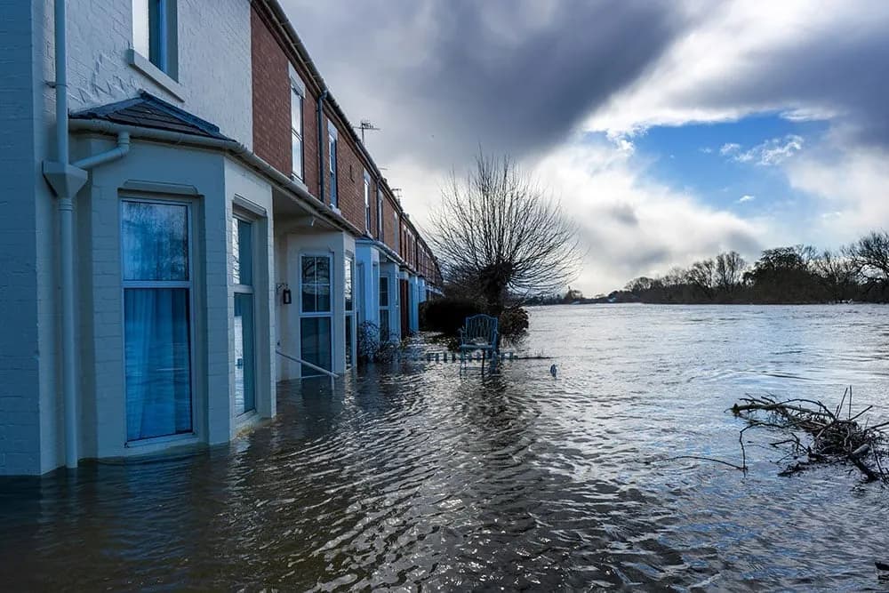
Eastbourne Old Town October 2024
What the sensors recorded
In 2024 our water level monitoring gauges showed increases of up to 1.15m of water during rainfall events. Seasonal fluctuations in groundwater level of up to 4.0 m were also captured.
As the dataset grows, so does our understanding - allowing communities, businesses, and risk managers to make better informed choices about how to prepare and respond to flooding.
What people experienced
The pub sits at the bottom of a dip, making it extremely vulnerable when heavy rain coincides with high tide. The pub has installed flood doors as a protective measure, but flooding remains a persistent and serious issue.
“I live in old town and we quite often have flooding there, it’s only flash flooding but the local pub often gets knee deep in water. I’ve been in there before sitting at the bar when it’s knee deep in water…”
“The flooding risk is very much a talking point in the local area.”
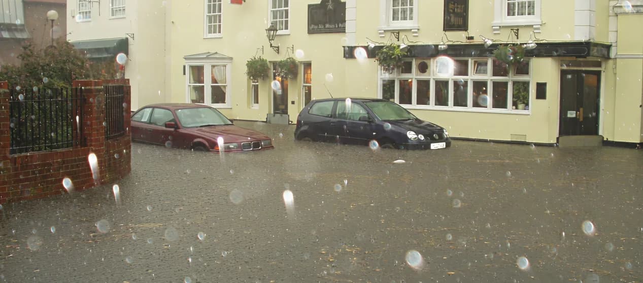
Eastbourne Old Town August 2006
What the sensors recorded
In 2006 there was only one rain gauge in the Eastbourne area that failed to capture the August flood data. It was difficult to understand exactly what happened, even though we knew there had been flooding.
Having an extensive network of sensors now gives us a much clearer understanding of how water is moving on the ground.
What people experienced
When the tide is in, water simply cannot escape the drainage system, causing drains to overflow dramatically and the entire area to flood within minutes.
“We used to have a shop with a cellar just opposite the station and the cellars would regularly get soggy, you know, does fill up if it’s really bad.”
“When the water comes down, if the sea is in, the tide is in, the water can’t escape. Therefore, drains pop, literally they come up, they shoot out, and this area here completely floods and it floods the pub.”
What we are learning — Shinewater Park area case study
We can’t draw firm conclusions from two years of local data, but we can begin to use these findings to improve how we manage water in our local area.